Roads in ACT
Australia Capital Territory
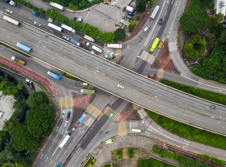
This central seat of government where the Australian federal government resides. It was donated in 1930 by the NSW government. It is the only city in the country that was fully planned from the onset, and this shows in its roads which are the best in the country. Apart from the fact that the design of the roads is amazing, the territory itself is well planned, with five major satellite cities of Woden, Gungahlin, Belconnen, Queanbeyan, and Tuggeranong. Signposting is a major issue here because only the major satellite cities and few other places are signposted with the Australian Capital Territory. Due to the fact that there are no signposts and the nature of roads in Canberra, it might be a little difficult to navigate this place. The ACT does not have a 'state' route numbering system; it relies on seven colour-coded tourist drives as well as the National Routes passing through the city. The newest Alternate National Route in Australia at a time, the Alternate NR-23, bypasses Canberra.
National Route
National Highway 23
Federal Highway (ACT Section)
Length (ACT): 7km
Southern Terminus (ACT): Northbourne Ave/Barton Hwy, Lyneham
Northern Terminus (ACT): ACT/NSW Border, Ginns Gap
Interstate continuation: North to the Hume Hwy near Goulburn
Focal Points: Canberra, Goulburn
Overview
This Federal Highway was designed back in the 1930s to serve the Sydney-Canberra traffic. It goes further north and passes through New South Wales to join the Hume Highway near Goulburn. Since the 1970s, the Highway has been gradually upgraded, and it is now a full dual carriageway. One grade-separated interchange of the road is within Canberra at Majura Rd (Alt-23) and Horse Park. The duplication of the road started in the 1990s and was finished in 2002 with the duplication of the Antill St to the NSW Border section. With the opening of a short ACT section back in July 1931, Gunning or Tarago was no longer the access point to the city.
From the onset, the route was a national route, but in 1974, it was designated as a National Highway. It took some time for the signage to reflect this.

National Route/Highway 23
Federal & Monaro Highways
Length: 321km
Southern Terminus: NSW/VIC Border, 43km S Bombala
Northern Terminus: Hume Hwy, 17km S Goulburn
Route Names: Federal Hwy, Commonwealth Ave, Northbourne Ave, State/Capital Circle, Monaro Hwy, Canberra Ave
Focal Points: Goulburn, Canberra, Cooma, Bombala, Orbost
RTA Internal Classification
Monaro Highway - State Highway 19
Designated a state highway
Federal Highway - 1928
Monaro Highway - March 1938
Names
Federal Highway -July 1928
Monaro Highway - June 1958

Overview
It is the north-south route that transverses the south-eastern part of New South Wales. It is a convenient alternative for getting into Sydney if you are travelling from Victoria’s East Gippsland area. It is also a great route linking Canberra and Sydney.
It is divided into three parts, the Monaro highway on Canberra south, the arterial roads passing through Canberra, and the Federal Highway in New South Wales. At present, the route ends at the NSW/VIC border, which is on the north of Cann River. In the past, it extended into Victoria, where it connected with Princes Highway. The section of this route in Victoria has now been renumbered B23.
